Hey, Nineteen
August 30, 2009
|
Next year, I'll be saying that I can't believe it's my 20th Pan Mass Challenge. For this year, it's number 19. Long time sponsors and virtual-PMC veterans Steve and Bill had signed up to
ride with me for at least part of my 2009 PMC. We had planned to ride
Saturday, 8/29. Steve was recovering from a summer cold and wanted an
extra day to recover, so we moved the ride to Sunday, which turned out
to be a really good thing. Temperatures were about 20 degrees warmer on
Saturday vs. Sunday. Had we ridden on Saturday,
the latter part of the ride would have been in
the low 100s! Other factors nearly caused the ride to be postponed.
On Saturday,
with fires popping up all over California and local resources spread
thin, my fire company was called on duty at around 3pm. We
spent the better part of the day taking a few calls, and working
around the station. I got home around 11PM and emailed Steve and Bill:
Game on!
The route I originally planned was a monster - about 110 miles
and nearly 10000' of climbing. But it ran right along the perimeter of
the Lockheed Fire, which started two weeks ago. Although the fire is contained, it is still burning in the
interior, and there's still lots of smoke in the area. So I replanned the route, picking some new roads while also covering
some territory we used in the 2006
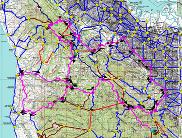
v-PMC. In the map below, the oddly shaped figure 8 is the route. It has many small climbs, one pretty reasonable climb, and 2 majors.
(Note: click on any image to enlarge).
|
|
The route, from KLIMB. The start/finish is
at the G/E sign, lower right.
|
|
|

|
The route profile - look at that finish!
(What was I thinking??)
|
|
|
|
Leaving home around 7:40 AM, I ran into a neighbor heading out for
her morning ride. "Going my way?" Kate is a very strong cyclist,
and I worked hard to keep up (which also kept me on schedule). I turned
towards Saratoga and descended highway 9 with absolutely no traffic. As
a climb, I've never liked the east side of 9, but it's a great descent.
By the time I got to Bill's house, I'd done about 19 miles and 700' -
a good warm up.
The Group Ride
We spun up through the foothills towards Stanford where I put in a
spontaneous route change to do the Portola loop clockwise rather than
counter-clockwise. This loop through the Arastradero open space preserve was the beginning of the 2006 v-PMC . I rarely
ride on this side of the hill, and was surprised at
the number of cyclists out. We passed the turn for Old La Honda and took the Portola cutoff to Woodside and the
start of the first major climb: Kings Mountain. This is a new climb
for the v-PMC, although we descended it in 2006. I have always enjoyed
the Kings climb. It's about 4.5 miles at an average grade of 7%,
nearly all shaded under tall redwoods. Steve stretched out a 30 second
lead in the beginning; Bill and I rejoined a bit later, and we
took the remainder at a nice, conversational
pace. I sprinted for the last 500 meters.
|
|
|
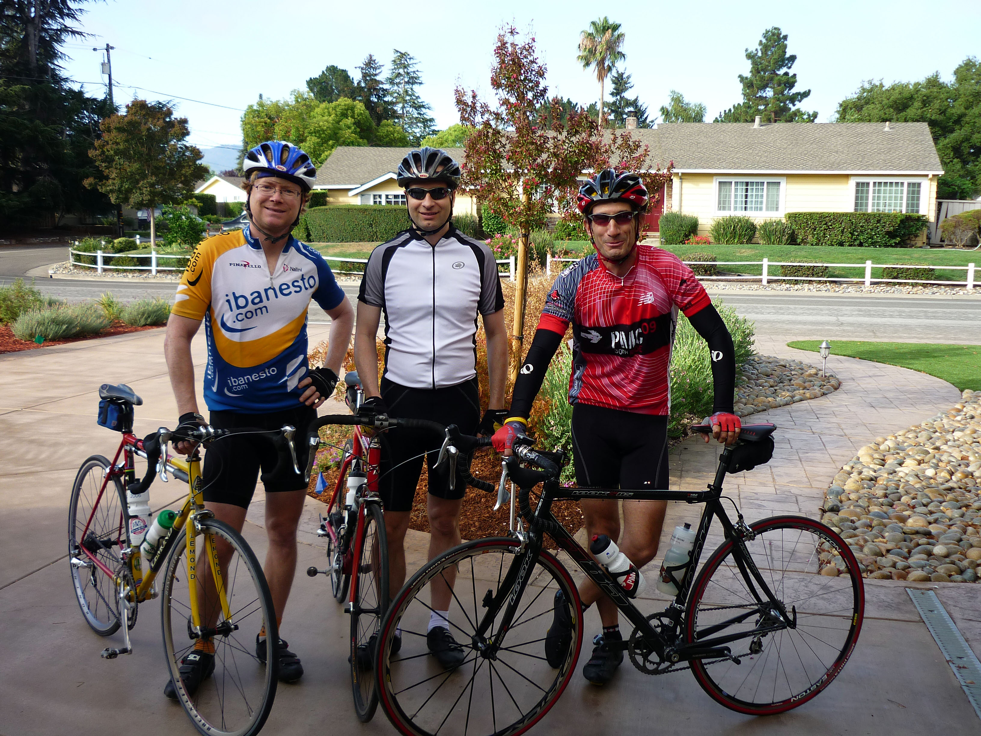
Meeting Bill & Steve. I look a bit goofy, but
the 2009 PMC jersey is a perfect match for the bike!
|
|
|
|
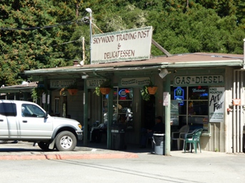
| The deli at Sky Londa
|
|
|
|
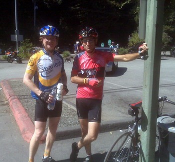
| Steve & Andy at Sky Londa
|
|
|
|
At the top of Kings, we turned south on Skyline, climbing a bit more
before a very fun descent to Highway 84 and the tiny town of Sky Londa (whose name is apparently derived from the crossroad names, Skyline Blvd. and La Honda Rd.). This is a good spot for a break, with a little deli, shown above. I had ridden about 48 miles so far; for Bill and Steve, about 29. They were turning back towards Woodside, and all told, they did about 51 miles for the day with 3000+ feet of climbing. That's a good day's work! It was Bill's longest ride of the year.
To the Coast!
Meanwhile, I headed towards the coast.
Descending 84 towards La Honda, there was a bit of a headwind - shades
of things to come. Just past the town of La Honda, there's a cutoff which is the center of the figure eight. The first time through,
I turned right on Pescadero
Road, which, oddly enough, goes to Pescadero.  The climb, Haskins Hill,
is short at about 2 miles and 700'. It was also part of the 2006 ride. It is
followed by a technical descent to a series of rollers into the
outskirts of Pescadero. Once out of this redwood forest, the winds
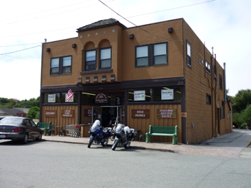
really picked up. I pulled into Pescadero around 11:50 and had a quick
lunch at the Archangeli Grocery and Bakery. The climb, Haskins Hill,
is short at about 2 miles and 700'. It was also part of the 2006 ride. It is
followed by a technical descent to a series of rollers into the
outskirts of Pescadero. Once out of this redwood forest, the winds
really picked up. I pulled into Pescadero around 11:50 and had a quick
lunch at the Archangeli Grocery and Bakery.
The post-lunch restart was tough, between getting the
legs to warm up again and the wind. I was right on the border between
fog and sun, and the winds were vicious. The road out of Pescadero is
flat at first, yet I could barely move the bike. Back to 84, I turned east, and did not get a tailwind; more of
a crosswind. It was about 8 miles back to La Honda and the second trip
across the Pescadero cutoff. And then there was Alpine.
|
|
|
| Lunch in Pescadero
|
|
|
|
| Detail of the Alpine climb
|
|
|
|
Alpine Road
Wow. The wind really takes it out of you.
I climbed Alpine on a training ride
about 6 weeks ago on a calm day after 25 miles.
Today, after 85 miles and lots of wind, I had 18 miles to go
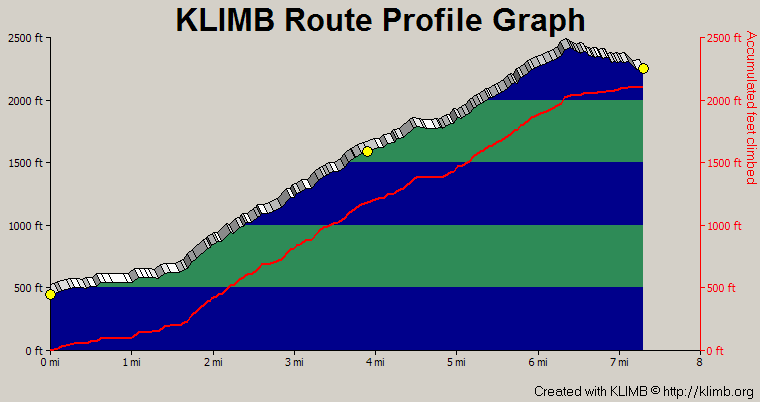
and about 3500' to climb; it was quite a contrast. Alpine is 7 miles long,
though the climb is only 6. It starts off in a redwood forest, just a
gentle climb for the first mile or so. Then it kicks up
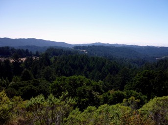
to around 8% to 10% for 3 miles until you get out of the forest at
around 4 miles. My legs were tired!
If you zoom in on the Alpine profile, you can see why.
Look for the yellow dot in the middle.
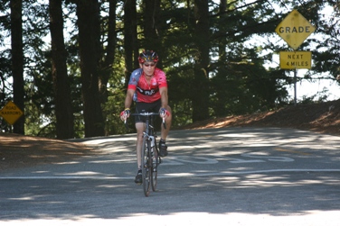
Beth met me at this point with food and water (and a Coke, perfect).
She found a few more places to
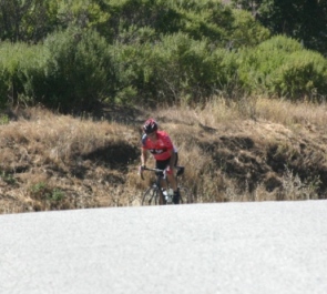
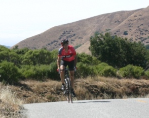
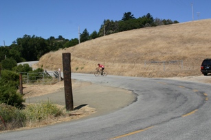
get pictures on the way up. In the sequence below, you can see how steep the
road is. A few of these sections are 16%.
Some days, you just don't have it. But I
recalled the Metcalf climb from the Livestrong Challenge
in July, when I paced a cancer survivor to the top. That was a very tough
climb, we agreed, but he remarked: it's nothing like chemo. I thought
about a good friend currently battling breast cancer.... And I got back
up out of the saddle and finished out the climb. I realized there is
always some speed at which I can turn the pedals, and I wasn't in a hurry.
|
|
|
| Whew. At the midpoint of Alpine
|
|
|
| The view back towards the coast.
|
|
|
|
| Now that's steep!
|
|
|
|
| Just about there...
|
|
|
|
Circle the wagons
(resting the legs)
|
|
|
|
When I got back to Skyline,
I had done about 91 miles. I still had to get back home,
about 12 miles and 1300' to go. The last segment was slow and
steady. I spun slowly up most of the climbs, and sped along the flats
and descents. I got back home after about 7.5 hours on the
bike, just under 9 hours including all the breaks.
103 miles, 8900' of elevation gain. It's been quite some time
since I did a ride like this (Grizzly Peak 2008, I think). I'm not
sure I was ready!
What It's All About
Lance Armstrong's first book was entitled "It's not about the bike".
It is so true. This event is about raising awareness for the
need for funding for cancer treatment R&D, and of course, for raising those funds. I am just a conduit. One of my long time sponsors recently
told me that she's happy to sponsor me seeing as I do all the work.
 I am delighted to be able to work hard for my sponsors,
who have so far provided $6100 this year towards my goal
of $8000 (stay tuned), and have helped me raise $135,000 since 1991. As well,
I ride to honor friends and family who have successfully battled
cancer and those who are currently battling cancer. And I ride to remember
those we have lost to cancer. I am delighted to be able to work hard for my sponsors,
who have so far provided $6100 this year towards my goal
of $8000 (stay tuned), and have helped me raise $135,000 since 1991. As well,
I ride to honor friends and family who have successfully battled
cancer and those who are currently battling cancer. And I ride to remember
those we have lost to cancer.
A few weeks before the ride, Beth and I went to a "remission party"
for a good friend who has battled back from breast cancer. It was a joyous event. Let's hope that the trend continues, and there are more success stories, and that the cure is just over the next hill.
Thank you for continuing to support the PMC!
|


 The climb, Haskins Hill,
is short at about 2 miles and 700'. It was also part of the 2006 ride. It is
followed by a technical descent to a series of rollers into the
outskirts of Pescadero. Once out of this redwood forest, the winds
really picked up. I pulled into Pescadero around 11:50 and had a quick
lunch at the Archangeli Grocery and Bakery.


